
The Changing Landscape of Atlantic County, New Jersey
The Changing Landscape of Atlantic County, New Jersey
|
Historical Maps courtesy of Rutgers Special Collections and Archives Permission is granted solely to view these map images. |
| ALANTIC COUNTY 1872 |
| ALANTIC COUNTY IMPORTANT FARMLAND 1980 |
|
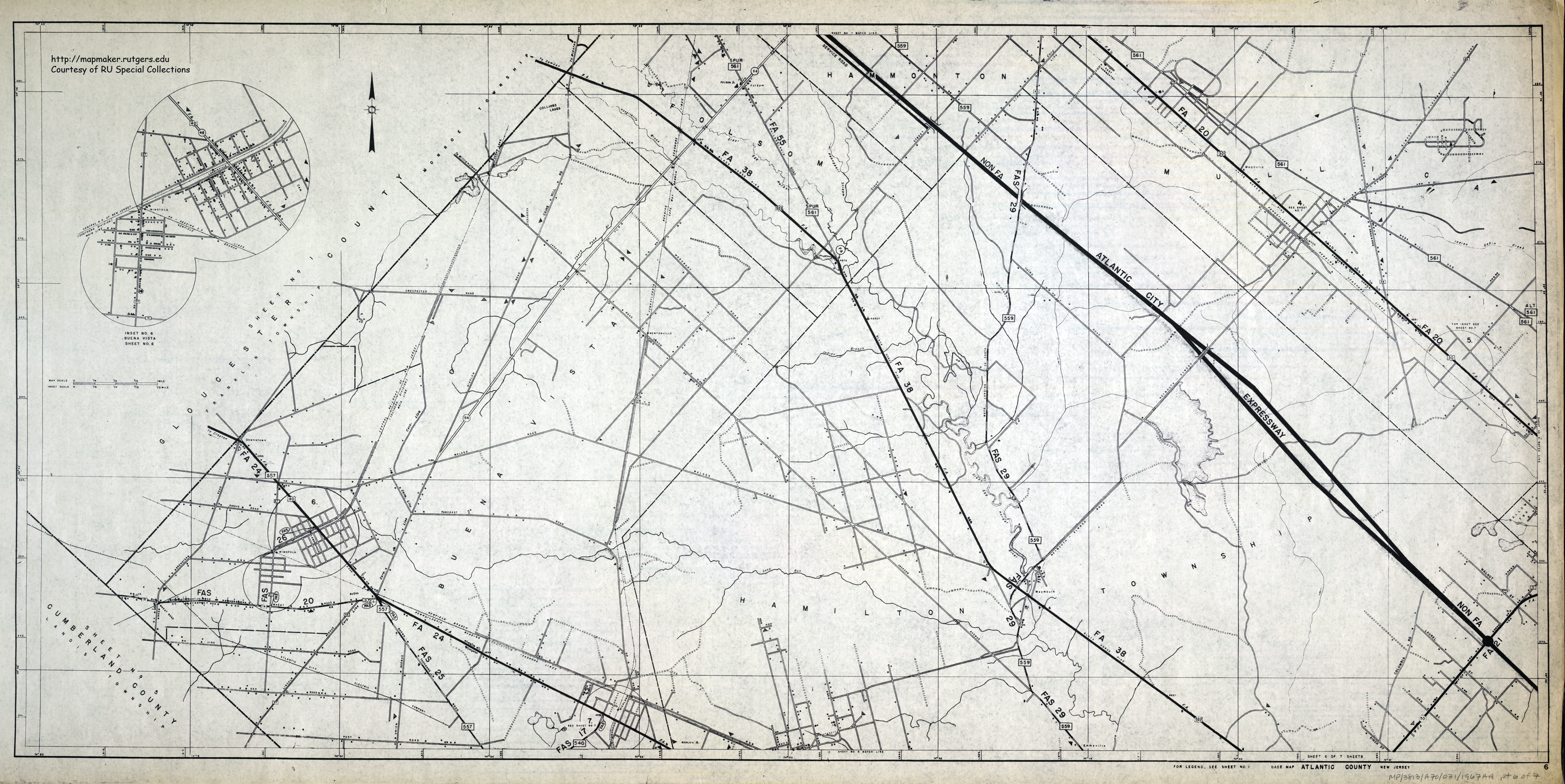
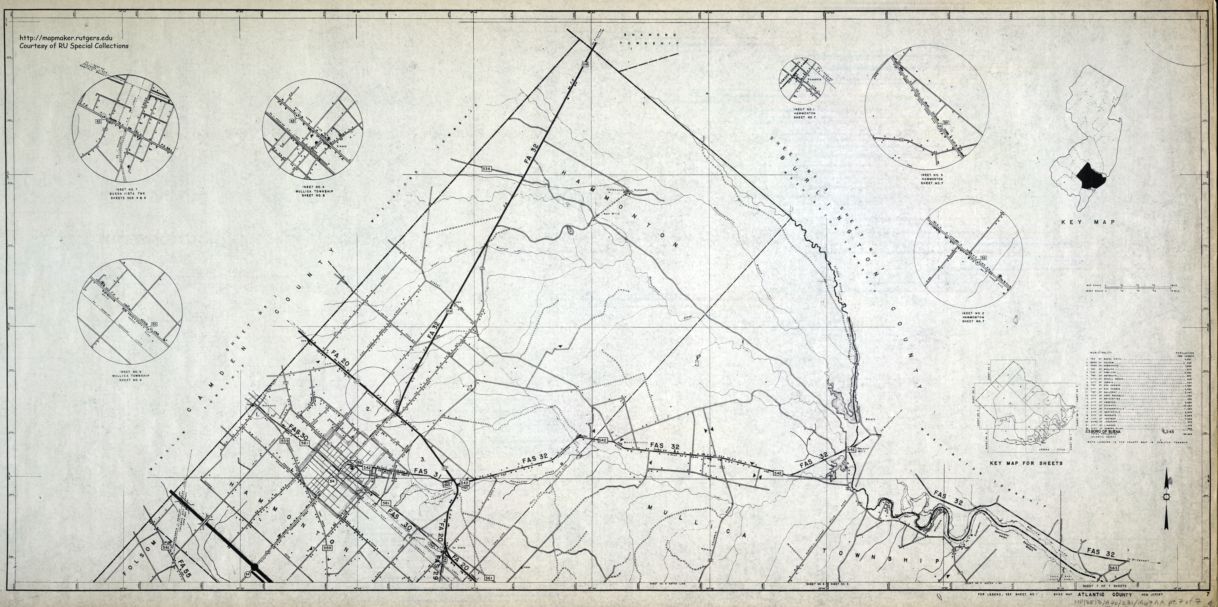
ATLANTIC COUNTY ROAD MAPS 1967 (7 sheets)
|
| ATLANTIC COUNTY 2003 (pdf) || from the Atlantic County Office of GIS |
| ABSECOM INLET 1864 | ||||
| ATLANTIC CITY | ||||
| GLOUCESTER TOWN AND FARM ASSOCIATION LAND 1889 (including plan for Egg Harbor City) | ||||
| EGG HARBOR CITY 1857 | ||||
| MAYS LANDING 1891 | ||||
| PORT REPUBLIC 1890 | ||||
| SOMERS POINT | ||||
| TOMS RIVER 1869 Property of the Building & Improvement Association of Hudson County | ||||
|
WEST EGG HARBOR (and vicinity) Farm and Garden Plots 1907
|
||||
|
|
| 1872 ATLAS OF NEW JERSEY |
| NJ Time Machine compare 1930 and 2020 Imagery |
| USGS topographic quads mid 1950s courtesy of Rutgers Geography Department |
| ATLANTIC COUNTY LIBRARY'S DIGITIZED HISTORICAL COLLECTIONS |
| A HISTORIAN'S TIPS TO STUDENTS RESEARCHING LOCAL HISTORY |
Comments or suggestions are welcome.
Contact Michael Siegel at misiegel@rutgers.edu
Permission is granted solely to view these map images.
No other permission to use the map images on these webpages is granted.
COPIES OF THE MAPS ARE NOT AVAILABLE FOR SALE